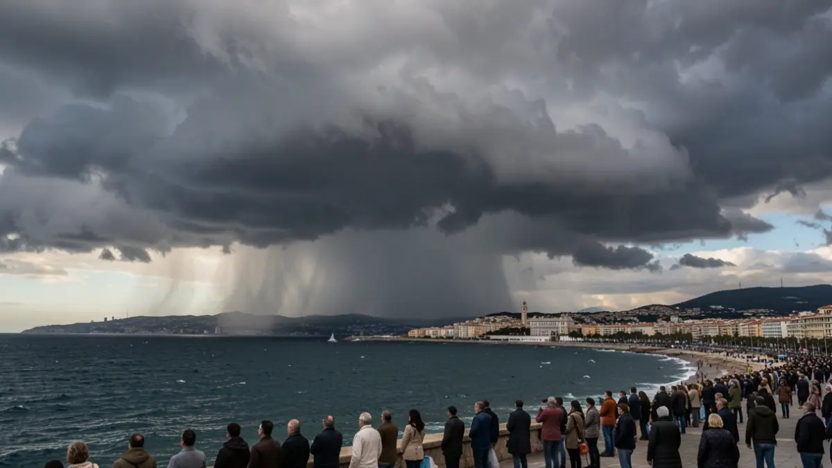
New rainfall is expected in the department this Saturday and through next night, primarily along the coast. Initially, a risk of thunderstorms will affect the coast this afternoon, particularly around the Calanques and the Var (Eastern Bouches-du-Rhône). Most activity is expected to remain at sea, but accumulations could reach an average of 60 to 80 mm along the coast.
Later, in the evening and overnight, another thunderstorm passage is anticipated, still at sea but potentially moving inland towards the Camargue (Western Bouches-du-Rhône). Average accumulations of 80 to 120 mm are possible if the thunderstorms move inland. They will be accompanied by very high rainfall intensities, with 40 to 50 mm possible in one hour. West of the 13, there is a risk of thunderstorms remaining stationary for several hours.
Runoff phenomena are to be monitored locally along the coast, especially under heavy rainfall intensities. With soils completely saturated, particularly in the western part of Bouches-du-Rhône, low-lying areas in urban centers and on roads can quickly become flooded.
The evolution of the situation will be monitored throughout the day. A further bulletin will be issued depending on the situation's development.