
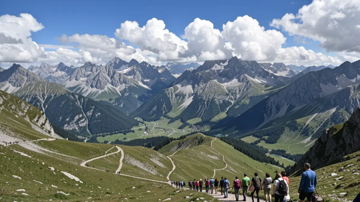
The Parc national des Écrins has developed several initiatives to better assess and understand visitor numbers within its territory. A study conducted in 2025 analyzed data collected on trails, in refuges, and on roads, resulting in the mapping of flows, analysis of seasonal variations, and a study of visitor dispersion. This approach also led to improvements in data management and visualization.
In parallel, a comparative study was carried out across 13 Alpine protected areas, aiming to produce visitation maps and analyze temporal and territorial variations. A common analysis methodology, based on existing data and open-source R scripts, was developed, making these tools reusable for other territories.
To better monitor specific practices like wild camping or swimming in high-altitude lakes, the Park studied the use of camera traps with automatic detection algorithms. The deployed solution, integrated into the open-source web application CAIRN, allows for automated monitoring of tents and swimmers. Similar systems, combining artificial intelligence and photographic sensors, were implemented in 2023 for monitoring pedestrian traffic on trails, contributing to the analysis of flows and interactions between wildlife and recreational activities.
A hackathon organized in November 2025 brought together 50 participants to imagine and prototype innovative solutions using data from nature sports and biodiversity. Teams developed digital solutions to visualize visitor numbers and identify the impacts of outdoor activities.
Finally, a study explores the prediction of trail attendance up to 15 days in advance, based on historical flow data and weather forecasts. This work, conducted in partnership with several academic and research institutions, aims to help managers anticipate and manage visitor flows.